
- Due to excessive heat, the dust oil will be put down on July 7th weather permitting.
On roads: Evert, Ikeler, Johnson, Short
Author: maint
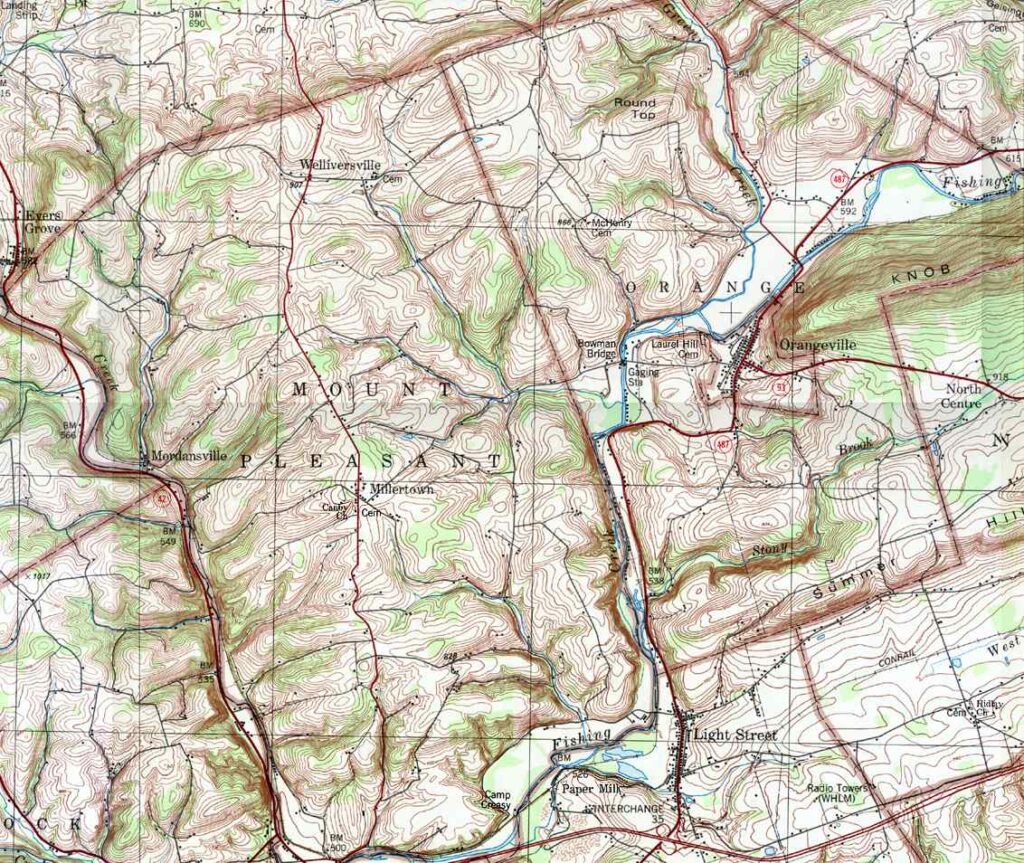
Township Maps
Download maps of Mount Pleasant Township
- Mt Pleasant Road Map (PDF 367 KB) Penn-DOT Street and Road Map
- USGS Map (JPG 212 KB) US Geological Survey Map

Wanich Covered Bridge
 Two views of the Wanich Covered Bridge, Mt Pleasant Township. To the right is a recent view of bridge.
Below is earlier picture before renovations.
